Sandwiched between Mexico on the northwest and El Salvador and Honduras on the east, the country of Guatemala may be small but it has a diverse topography. The northern half of the country is a vast lowland with hot and humid tropical climate, but the southern half is mountainous with snow-capped peaks and deep valleys. This dramatic contrast between the highlands and lowlands can be best appreciated at the center of Guatemala City, on this century-old topographic relief map of the country.
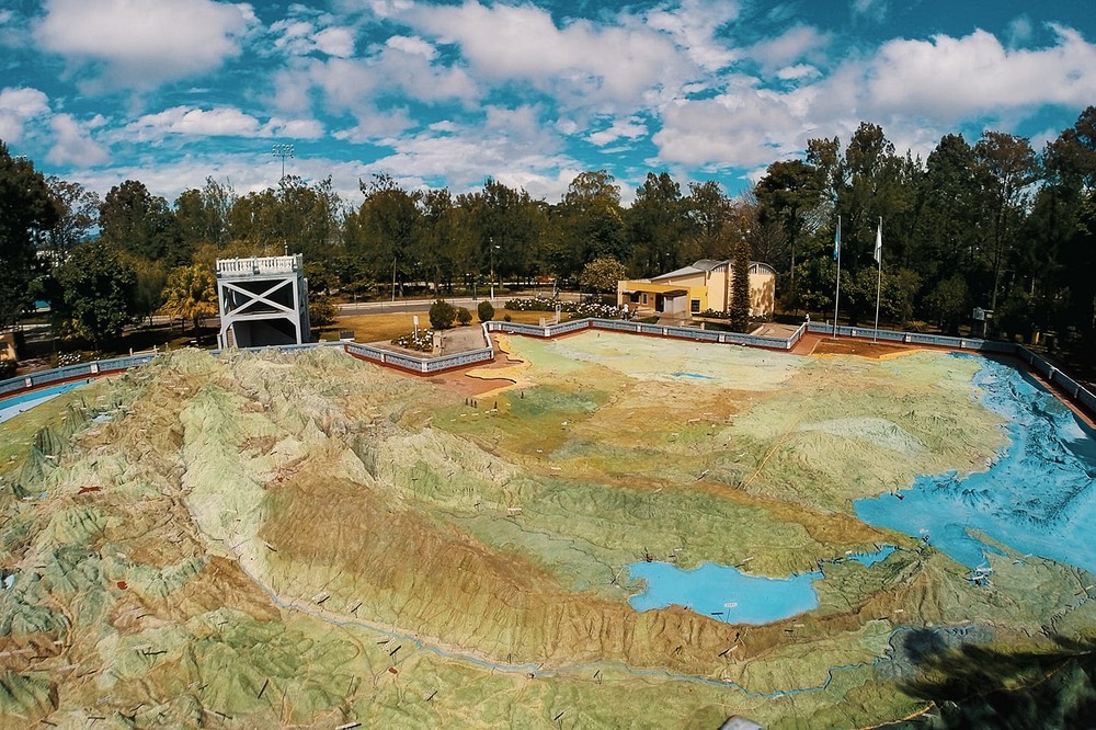
Photo credit: Mapa en Relieve de Guatemala/Facebook
Mapa en Relieve de Guatemala, or the Relief Map of Guatemala, is a huge three dimensional map of Guatemala covering approximately 1,800 square meters built at a scale of 1:10,000. However, to make the terrain more conspicuous, the vertical scale is exaggerated five times that makes the mountains and the peaks unrealistically pointy.
The map was built in 1905 without the aid of modern technology, such as satellite mapping, which makes the map even more impressive. Its creators, lieutenant colonel and engineer Francisco Vela and engineer Claudio Urrutia, spent fifteen years traveling around Guatemala on the back of donkeys measuring the highs and lows of the country. It was the most accurate surveying project to date. Vela and Urrutia mapped Guatemala’s mountains, volcanoes, valleys, basins, rivers, lakes, coasts, ports, as well as countless cities and towns, the roads and railways.
It took 18 months to transform the wealth of data collected into a vast topographical map made of concrete. It is likely the largest terrain model ever created. More than seventy years later, a similar project was attempted in Scotland by a group of Polish soldiers, what is now known as the Great Polish Map of Scotland. It’s built at the same scale of 1:10,000 like the Relief Map of Guatemala, but Guatemala being larger in area than Scotland—especially considering the fact that Belize was still a part of Guatemala then—it is safe to assume that the Mapa en Relieve de Guatemala is larger.
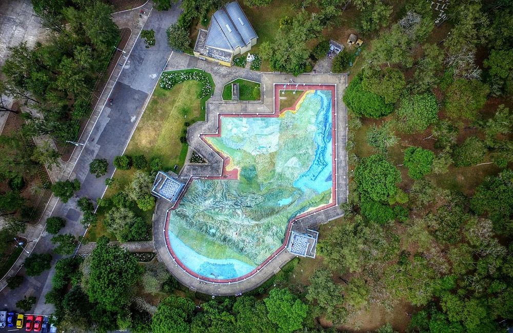
Photo credit: Mapa en Relieve de Guatemala/Facebook
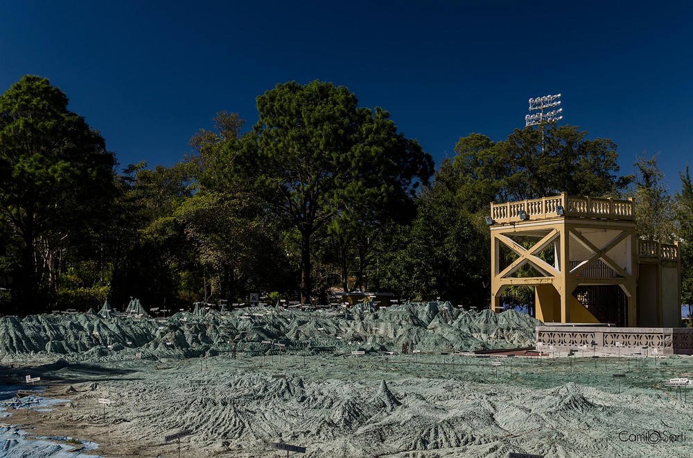
Photo credit: Mapa en Relieve de Guatemala/Facebook

Photo credit: Kyle Johnson/Flickr
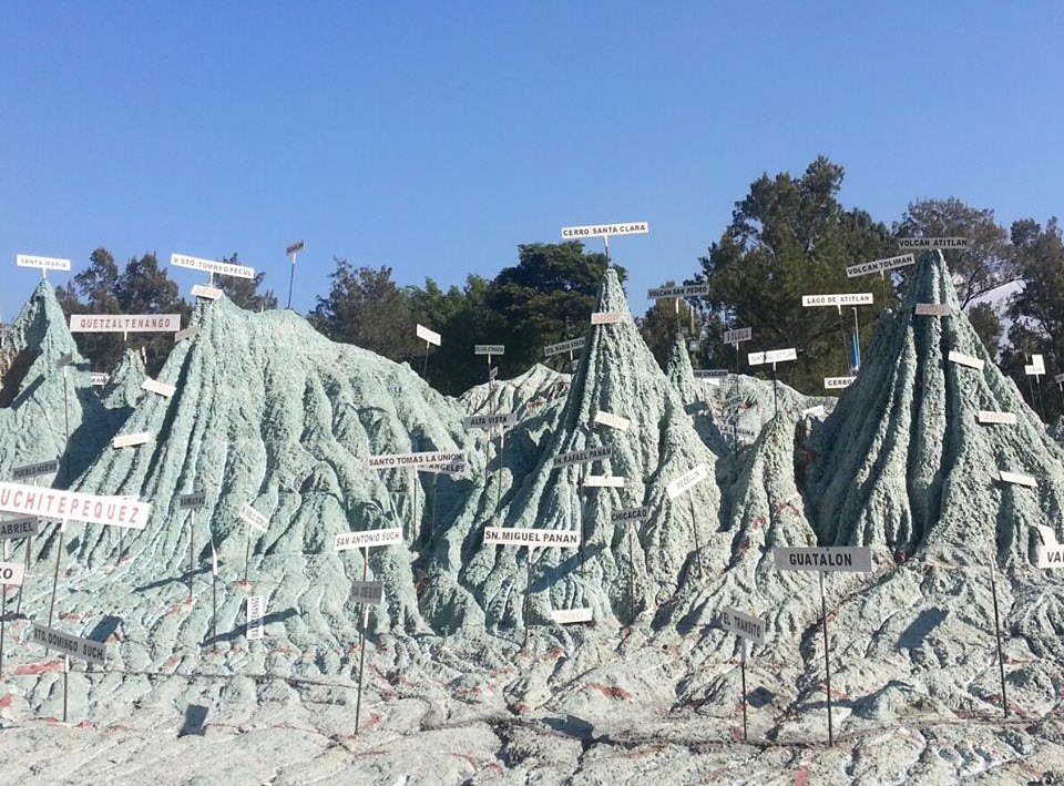
Photo credit: Mapa en Relieve de Guatemala/Facebook
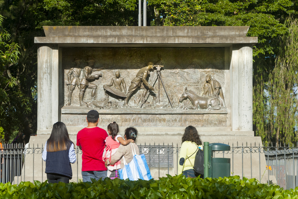
Relief showing the engineer Francisco Vela making field measurements for the realization of the relief map. Photo credit: Byron Ortiz / Shutterstock.com
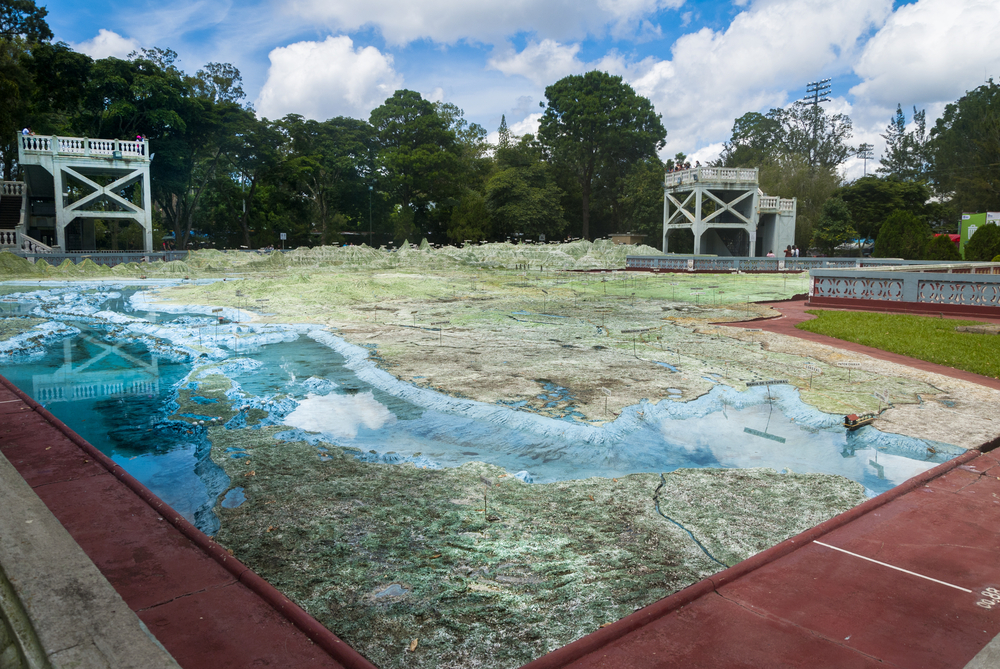
Photo credit: Byron Ortiz / Shutterstock.com
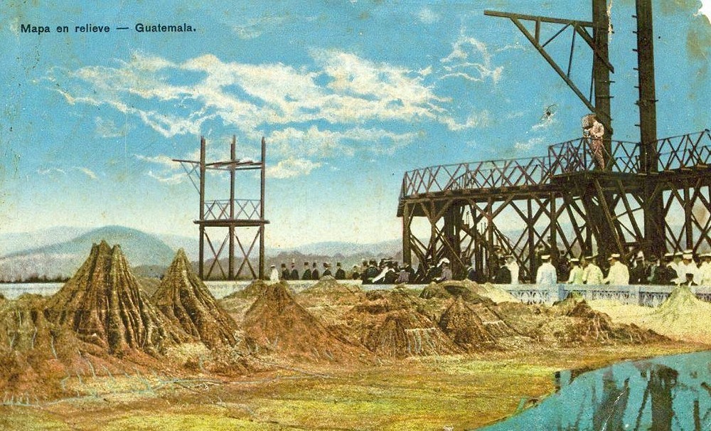
Engraving made in 1905 of the relief map of Guatemala.


Comments
Post a Comment