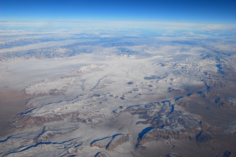
The Lunar Crater National Natural Landmark is a volcanic field located 110 km east-northeast of Tonopah in Nye County, in central Nevada. The landmark covers an area of over 300 square kilometers at the southern end of the Pancake Range in the Great Basin Desert, and comprises of numerous cinder cones, outcrops of lava, elongated fissures, ash hills and craters. The most impressive of these is the 400-acre Lunar Crater, thought to have formed by several volcanic explosions, and is one of two maars in the volcanic field of the Pancake Range.
A maar is a shallow, broad crater formed by an explosion caused when groundwater comes into contact with hot lava or magma. A maar will almost always fill with water to form a relatively shallow crater lake.

The most recent caldera is the 25-million-year old Lunar Crater, although the volcanic field continued to form till the end of the Pleistocene period, some 12,000 years ago. But why the name “lunar”? Possibly, the volcanic field reminded geologists of the surface of the moon.
From USGC’s website:
The field contains approximately 95 late Pliocene and Pleistocene vents and at least 35 associated lava flows contained within a northeast-trending zone, up to 10 kilometers wide and approximately 40 kilometers long, that extends obliquely across the flanks and crest of the range. Vents include cinder cones, elongate fissures, and at least two maars. Lunar Crater, a nearly circular maar, approximately 130 meters deep and 1,050 meters wide, is the most distinctive feature of the field. A second maar, approximately 550 meters wide and 65 meters deep, occurs at the south end of a northeast-trending chain of coalesced cinder cones. Several other northeast-trending alignments of closely spaced and coalesced cinder cones characterize the field. Lava flows range up to 1.9 kilometers wide and 6.1 kilometers long with thicknesses from less than 3 meters to as much as 25 meters. Progressive degradation of the cones and flows is very similar to that displayed by other basaltic volcanic fields in the southwest Basin and Range (including the Cima, Crater Flat, and Coso fields). Many of the flows in the northeast and central parts of the field are veneered with varying thicknesses of air-fall tephra. In other areas, all but the youngest flows are mantled with extensive deposits of aeolian silt and fine sand.

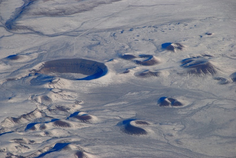
The big circular structure on the left is the Lunar Crater. The small hill like mounds surrounding the crater are cinder cones. Photo credit


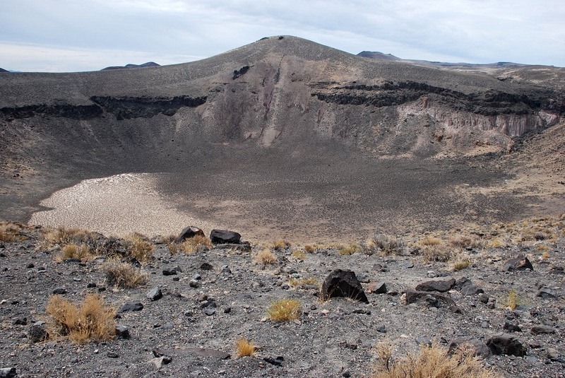
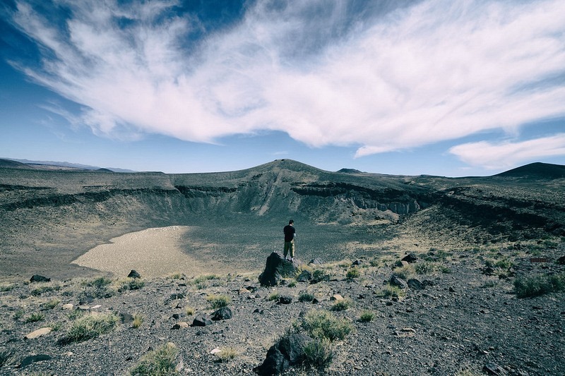
The Lunar Crater. Photo credit


Is that guy peeing into it?
ReplyDelete