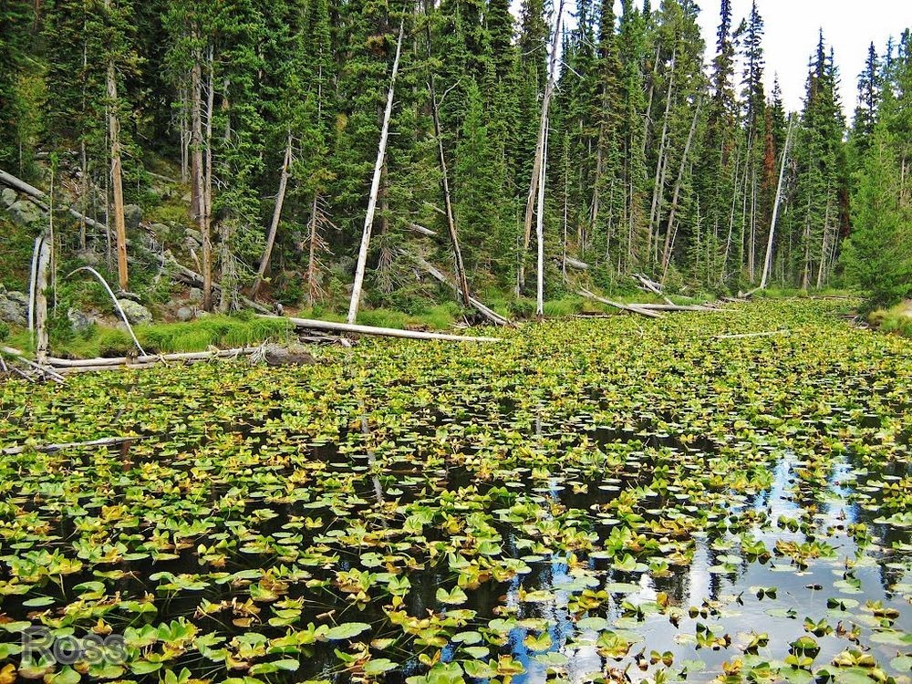
The Isa Lake Viewpoint, located about 8 miles east of the Old Faithful Area along the Grand Loop Road in Yellowstone National Park, is not a terribly exciting place. On the way to the Old Faithful geyser, you can alight from your vehicle and stand on the edge of a thin sliver of water filled with waterlilies and fallen logs. By the side of the lake is a Continental Divide elevation sign, and an interpretive sign describing the significance of the Continental Divide and Isa Lake.
‘Continental divide’ is a geographical divide on a continent, often in the form of a mountain ridge, such that rivers and lakes on one side of the divide drain into one ocean or sea, and those on the other side drain into another. Isa Lake straddles the continental divide of North America, standing at over eight thousand feet at the upper watershed for two of America’s most extensive drainage systems— the Snake and Columbia Rivers, and the Missouri and Mississippi.
Photo credit: Firas Wehbe/Flickr
The Lake has two outlets. The outlet on the east side of the lake leads into the Snake and Columbia Rivers and then into the Pacific Ocean by way of the Lewis River. The outlet on the west side of the lake feeds the Firehole River on its way to the Missouri and Mississippi Rivers and into the Gulf of Mexico, in other words, into the Atlantic Ocean.
Isa lake is thus the only natural lake in the world to drain to two different oceans. Because of this it is also known as the Two-Ocean Lake. The lake’s outflow is also counterintuitive, since the Atlantic Ocean lies on the east of the lake and the Pacific Ocean to the west.
Isa Lake has no inlet, and is fed entirely by snow-melt. During most of the year, the lake’s water flow is mostly seepage, except during spring runoff.
Also see: Parting of The Waters: A Creek That Flows Into Two Oceans
Photo credit: Herve Quatrelivre/Panoramio
Photo credit: Kris Smith/Panoramio

Photo credit: Ross Mitchell/Panoramio
Photo credit: Kent Kanouse/Flickr
Sources: Wikipedia / Waymarking


"The outlet on the east side of the lake leads into the Snake and Columbia Rivers and then into the Pacific Ocean by way of the Lewis River." < This is poorly constructed, makes it sound like the Columbia flows into the Lewis River and then into the Pacific. Your description of the route followed from the westside outlet is much more clear.
ReplyDelete